


Program Overview
Geography / Geographic Information Systems
Campus
- I Itasca
-
 Online Program
Program Overview
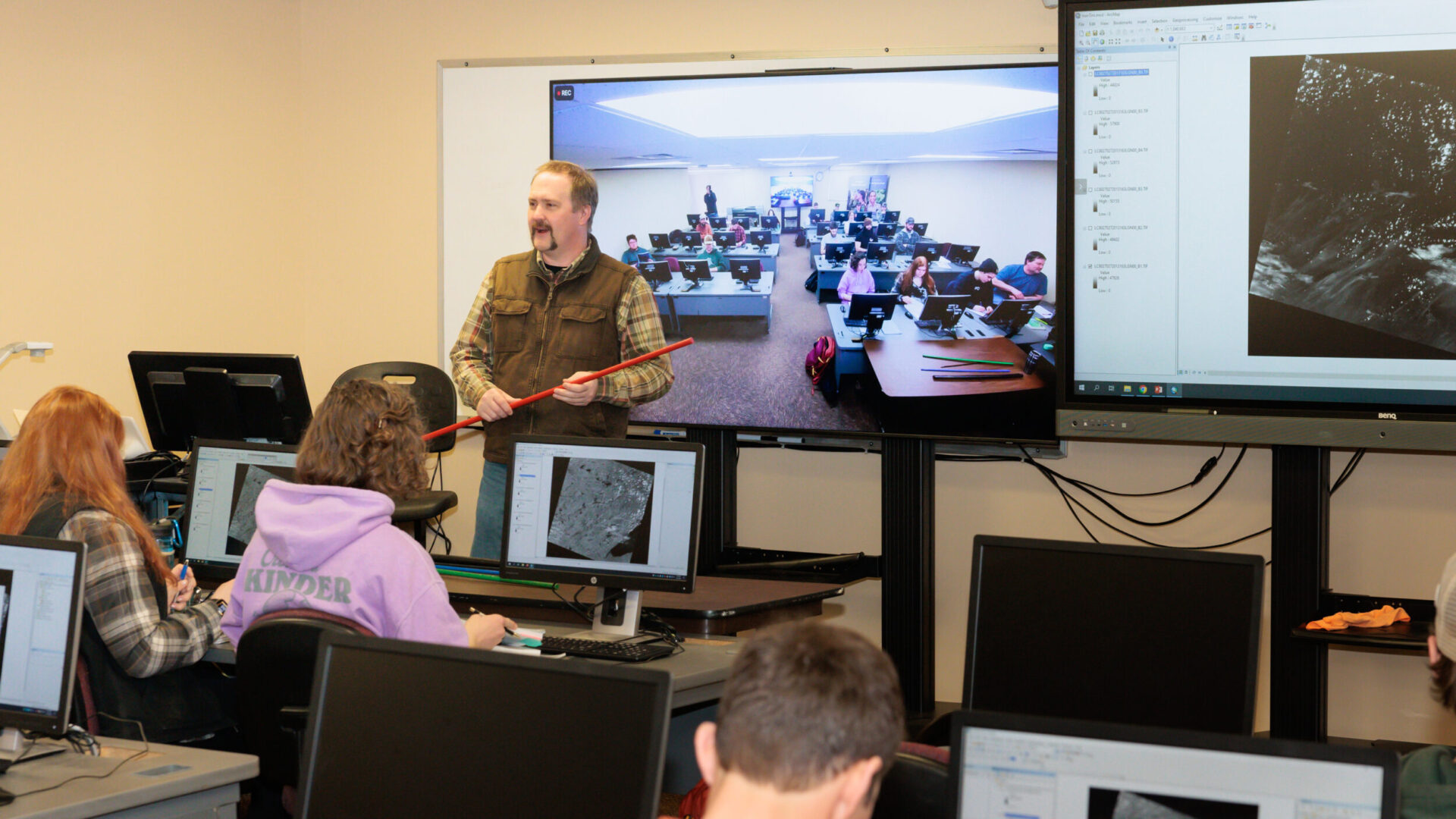
The Geography/GIS Program equips individuals with a foundation in geography, spatial processes, and mapping techniques, enabling them to manage geographic information for planning and decision-making. It fosters geographic inquiry and analysis while exploring diverse political, economic, social, and environmental interrelationships at various scales. The program emphasizes technical skills in mapping, cartographic analysis, and the use of advanced GIS, GPS, and remote sensing software for data acquisition and spatial analysis.


Sources: US Bureau of Labor Statistics
Reasons to Attend Minnesota North
Online GIS certificate.
The Geography Department at Itasca is dedicated to developing students’ knowledge of geospatial technologies and how they can be utilized to explore dynamic interrelationships between humans and their environment.
Start in the spring or fall.
Coursework taken at Itasca prepares students for entry level professional work settings and creates a foundation of geographic skill and knowledge for further study. Individuals of all backgrounds and disciplines and expertise are welcome.
Transfer your credits.
The 2 Year A.S. Geography/GIS program maintains articulation agreements with Bemidji State University and the University of Minnesota-Duluth, which facilitates the transfer of MNC credits and allows ample time to complete an additional minor.


